Page last updated on: Saturday, 18 September, 2021.
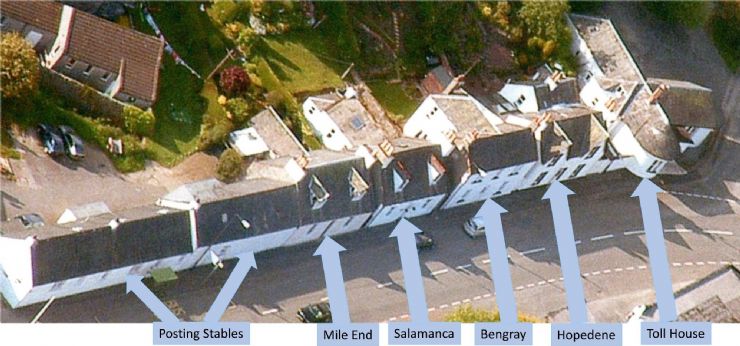
Woodside Terrace
Before “The Cut” was opened in 1823, the road, or turnpike, into Gatehouse from the East came down Ann Street, past the toll-house, the small building between The Murray Arms and The Masonic, and continued along Old Ford Road, until it met a ford across the river. Prior to 1823 there was no road between the clock tower and the mill dam(s). Much, if not all, of this land was part of the Murray Arms grounds.
Below are brief histories of Woodside Terrace properties.
|
Click below for
a brief history of
Mile End
|
Click below for
a brief history of
Salamanca
|
Click below for
a brief history of
Bengray
|
Click below for
a brief history of
Hopedene
|
|
|
 |
|
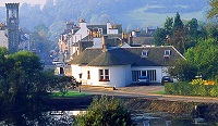
Click on the picture to the left to see a brief pictorial account of
Crosbie's Garage at Woodside
|
|
|
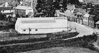
%20High%20Street%20from%20Tollhouse%20(single%20storey%20buildings)a.jpg)
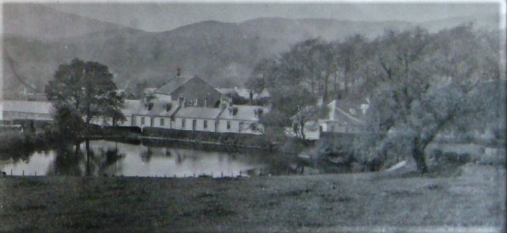
This is part of a photo taken before the clock tower was built in 1871.
Note that all buildings in Woodside Terrace are single-storey.
|
Mile End & Salamanca have dormer windows, whilst Bengray & Hopedene are fully two-storey.
|
|
|
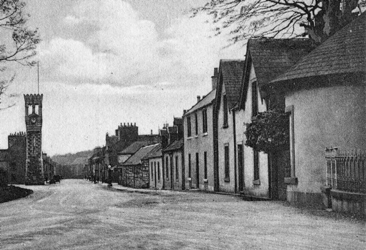
Somewhere between the 2 photos above.
The church tower was added in 1896, so clearly this was taken before that date. Salamanca & Hopedene have dormer windows.
|
|